On a coolish morning under a sky filled with heavy clouds a small group of Time Travellers (our local archaeology group) set off on a walk which began with a short but very steep climb up a narrow rocky path onto Birchen Edge in the Peak District. This was the view from the top looking out over the Derwent Valley. The little brown dots in the field are cows which gives you an idea of how high above the valley we were - about 900 feet above sea level at this point.
As we walked along there were great sheets of heath bedstraw stretching out in every direction, it's low growing and likes acidic soil so up here on the moors is a perfect habitat for it. Heath bedstraw is related to sweet woodruff and goose grass and as it's name suggests it was once used for stuffing straw mattresses. It's apparently also useful for staunching bleeding.
Most of the group arrived at Nelson's Monument well ahead of me. Since I'm usually messing about taking photographs I'm almost always racing along trying to catch up with any groups that I'm with:) The Monument was built in honour of Admiral Lord Nelson after his death and victory at the Battle of Trafalgar in 1805. A local man called John Brightman paid for it to be erected in 1810 thirty years before Nelson's Column in Trafalgar Square was constructed.
These three huge gritstone boulders are known as The Three Ships. Each one has the name of one of Nelson's famous ships carved onto it - Victory, Defiance and Royal Soverin. It's not my spelling that's a bit dodgy by the way - it's the chap who carved it who had his own interpretation:)
This one is Victory, you will probably need to enlarge the photo to see it properly.
This great boulder contains a basin which forms a drinking trough and must be used by many birds and wild creatures. I think this one is a natural formation but in the early 1900s a wealthy local businessman called William Wilson had seventy five drinking troughs carved into large boulders all across the grouse moors that he owned in this area - the idea being apparently to encourage the grouse to stay on
his moors and not migrate to any of the neighbouring estates!
Now we are moving into the prehistoric landscape on the moor, there was a surprising amount of activity in this period and the moors around my area are thick with burial cairns, stone circles, barrows etc.You will need to use a good deal of imagination here but take my word for it that you are looking at the entrance to a Bronze Age roundhouse. one large stone on the left and the one which Robert is standing on mark the entrance which faces south east as was usual during this era. Two pits were found inside, one near the entrance and one in the centre, both of which contained burnt bone and were possibly cremation burials. The stones will have formed the foundations for a timber framework filled with wattle and daub and thatched with reeds or turf.

This is a superb example of prehistoric cup and ring carving - or at least it's an excellent resin replica of the original which now lies buried to protect it from further erosion. No-one really knows what these carvings were for but as they are often found near important prehistoric paths and field boundaries they may mark territorial boundaries.
This however,though smaller and less impressive,is the real thing.
This standing stone is about 4000 years old. It was erected around 2000BC and stands over 2 metres high. It is deliberately slanted towards the south and it's believed to be an astronomical marker connected with the midsummer sun.
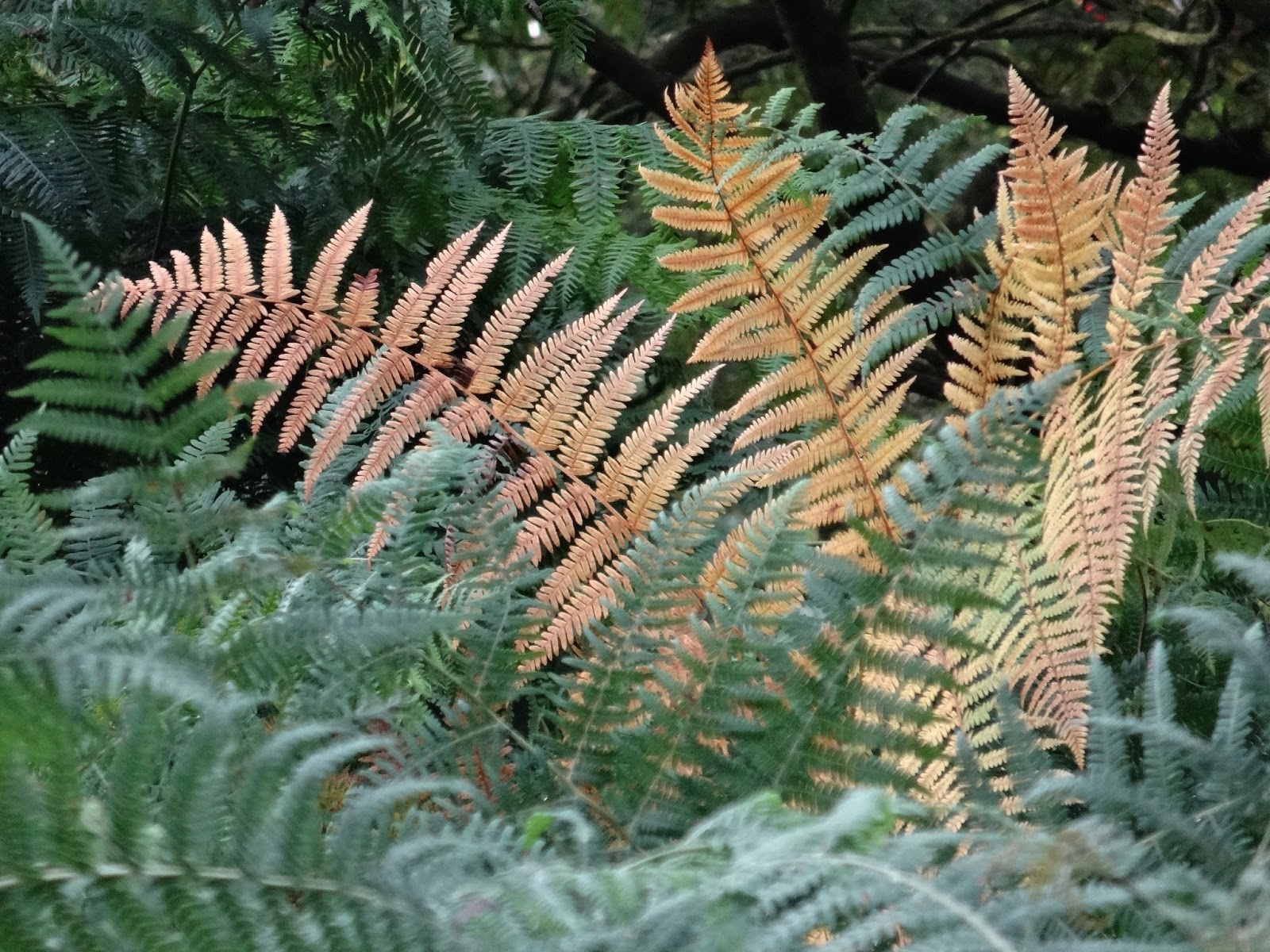
We passed a lot of this flowering moss which looked really attractive.
Gardom's Edge is part of the Dark Peak named for the dark Millstone Grit which overlies the limestone in this area. It's a rather bleak and forbidding landscape but provides some fantastic views even on a day of heavy cloud as this one was.
We saw many other things including a really well preserved neolithic barrow which was obvious when you looked at it but didn't show up well in a photograph. So here we are nearly at the end of what was a really interesting and enjoyable walk. One thing I (and everyone else in the group) did learn in addition to all the history - never ever go on the moors in summer without insect repellent however dull and cool it is! I ended up with something like 25-30 bites on my face,neck and hands and spent a very uncomfortable few days until the itching finally stopped.